services
SURVEYING

We prioritise precision, efficiency, and client satisfaction above all else. Our team employs technology and proven methodologies to deliver accurate and reliable surveying results.
Our licenced Cadastral Surveyors specialise in legal boundary definition, subdivision, boundary adjustments and preparation of easements for infrastructure and access.
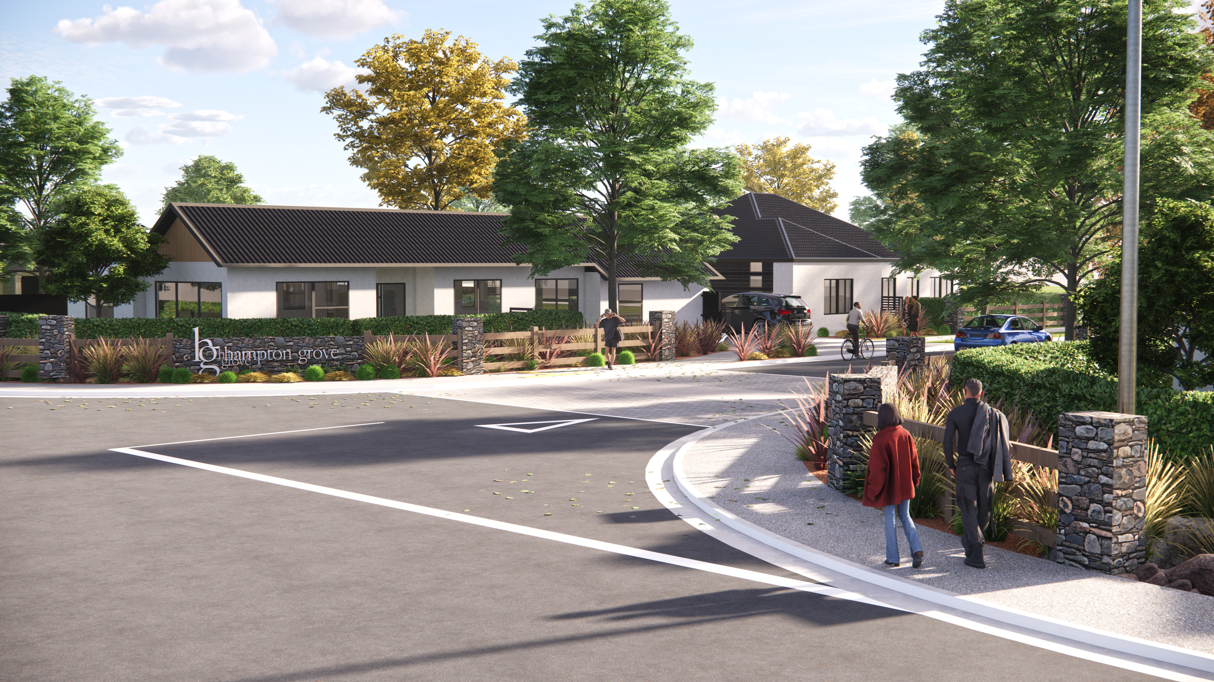
We specialise in multi-lot and multi-unit development subdivisions, either by fee simple or unit title and can undertake cross lease conversions or lease plan updates.
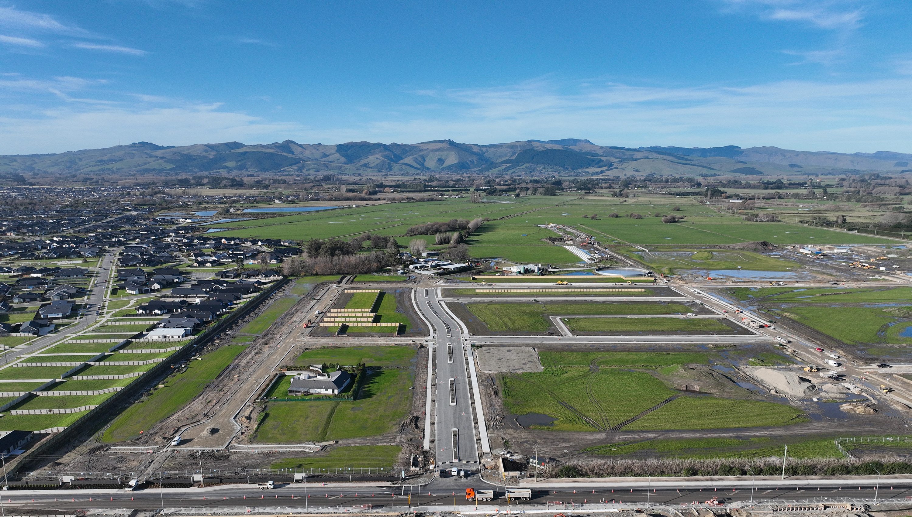
Along with our Planning and Engineering teams, we can take care of the whole subdivision process from site assessment, initial feasibility, consenting and design to placing the new boundary markers, managing civil construction works, s224 application and lodging the survey dataset with LINZ.
We provide quality topographical survey plans and data for site planning and design. Utilising the latest surveying equipment and software, highly efficient and accurate solutions are presented in a clear, easy to understand format.
Our team has a strong understanding of construction methodologies, processes and sequencing in construction surveying. We provide clear, concise and accurate communication across the board, from our team in the field assisting those performing construction, to the documentation we provide for our clients.


.png)